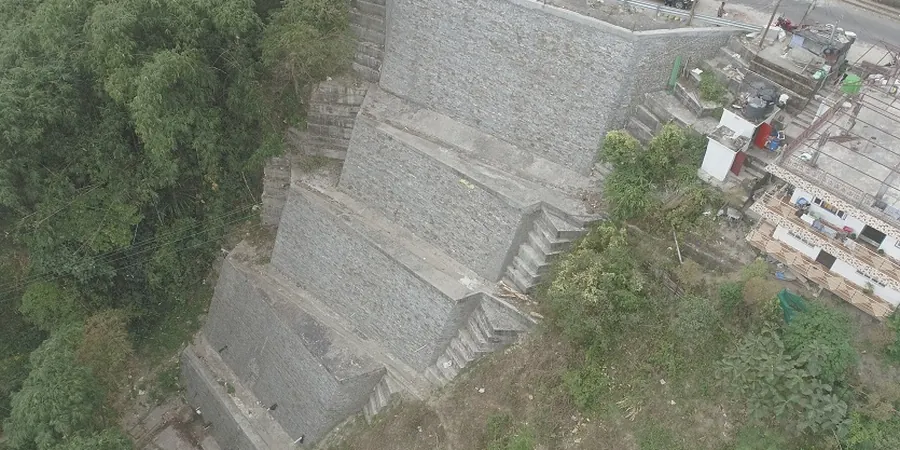
Between the limestone cap of the Niagara Escarpment and the soft sediments of Lake Ontario's shoreline, Burlington's topography creates some of the most challenging slope conditions in the Golden Horseshoe. The Escarpment cuts right through the city's northern edge, leaving steep shale and dolostone faces that are constantly weathering, while the old Lake Iroquois Plain to the south holds sensitive silty clays that can lose strength fast when saturated. In our experience across Halton Region, a generic desktop study simply does not work here—you need a slope stability analysis that accounts for the specific Queenston Formation shale bedding planes, the groundwater perched within the Halton Till, and the erosion cycles driven by spring melt and heavy autumn rains. Burlington’s average annual precipitation of roughly 900 mm, combined with freeze-thaw action, accelerates raveling and shallow sloughing in cut slopes year after year.
In Burlington, the residual friction angle of Queenston shale drops to 14–18 degrees when saturated—a detail that conventional SPT-based correlations miss entirely.